Bhongir Fort
Bhongir is a fort on an isolated rock. It became the eastern frontier post of the early Bahmani kingdom.
- Period
- Recorded from the 14th century
- Location
- 17.5147° N, 78.8926° E
Source of the position: OpenStreetMap node/3954691379
- Condition
- The sources consulted do not describe it after 1909.
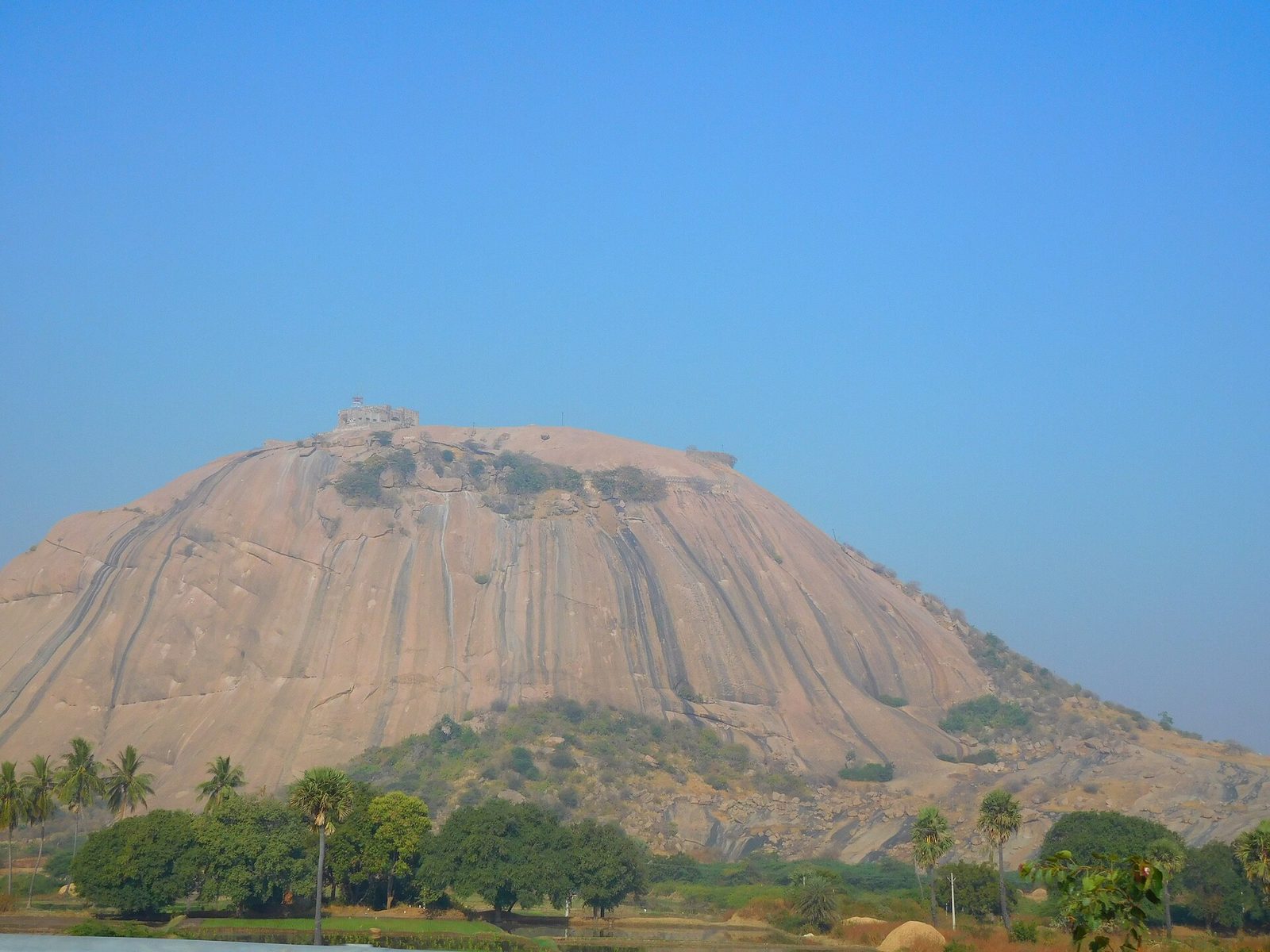
Bhongir Fort stands on the summit of a single large granite rock. The bare rock rises steeply above the surrounding fields and palm trees.

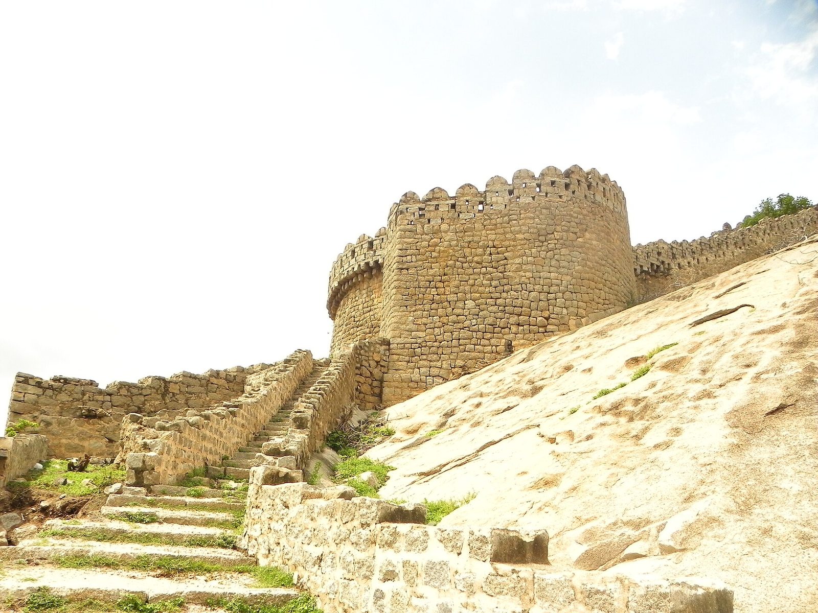
A round stone tower stands beside a flight of steps on the bare rock of Bhongir hill. A stone wall with a notched top extends from the tower along the slope.
Photo: Gaurav.alaspure, via Wikimedia Commons · CC BY-SA 3.0

Detail
- The fort stands on an isolated rock. Its eastern and southern sides cannot be climbed, and a citadel crowns the top.Imperial Gazetteer 1909
- The first Bahmani Sultan captured Bhongir, which then became the eastern frontier of his kingdom.Haig 1907Warangal District Gazetteer 1976Somasekhara Sarma 1948
- The Ainavolu inscription of 1369 names Tribhuvanagiri among the places that Anapota Nayaka ruled.Epigraphia Telanganica 2023
- The freebooter Papra built a fort at Shahpur in the Bhongir district and plundered Bhongir and Warangal.Imperial Gazetteer 1909Haig 1907
- Yashoda Devi dates the Bahmani capture of Bhongir to about 1355–56, during a second invasion by Sultan Ala-ud-din Hasan. Kapaya's son Vinayaka Deva briefly regained Bhongir a few years later.Yashoda Devi 1975
Historical photographs
These photographs were published a century or more ago. They show the monument as it stood before later repair and restoration.
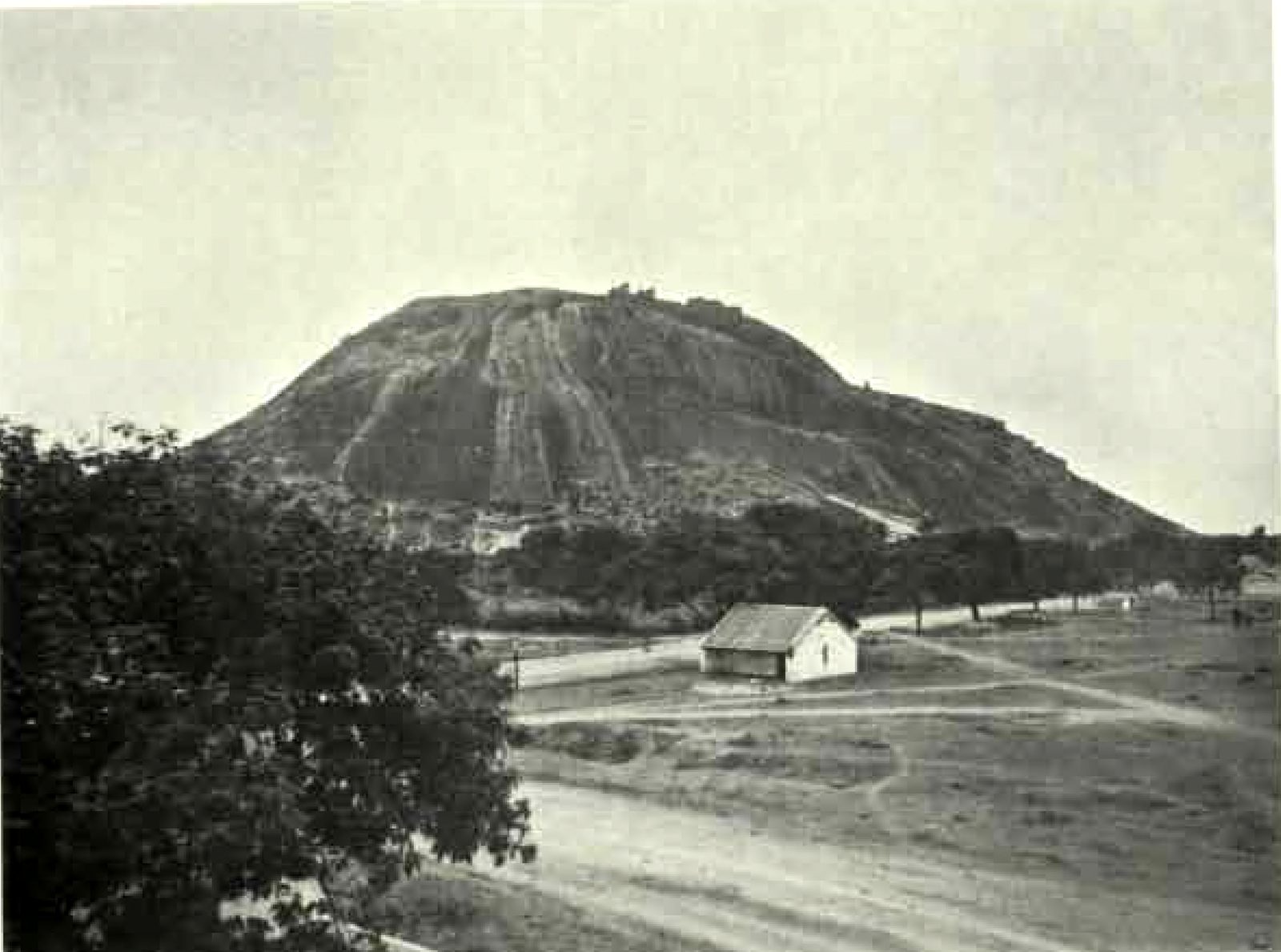
Photographed before 1928
The report for 1925-26 shows this general view of Bhongir Fort on its rock. A small building stands beside a road at the foot of the hill. The report was published in 1928.
Photo: Hyderabad Archaeological Department, Annual Report of the Archaeological Department of H.E.H. the Nizam's Dominions for 1925-26, 1928 · Public domain
Also recorded as
- Bhongir
- Bhuvanagiri
- Bhonagir
- Tribhuvanagiri