Rachakonda Fort
Rachakonda was the hill capital of the Recherla Velama chiefs. Inscriptions of Anapota Nayaka dated 10 August 1365 record its defences and the tank Anavota Samudra.
- Period
- Recherla Velama, 14th–15th century
- Location
- 17.1822° N, 78.8025° EWarning: approximate
Source of the position: Wikidata Q120629765 (a point for the village, because the fort itself is not mapped)
- Condition
- The sources consulted do not describe its present condition.
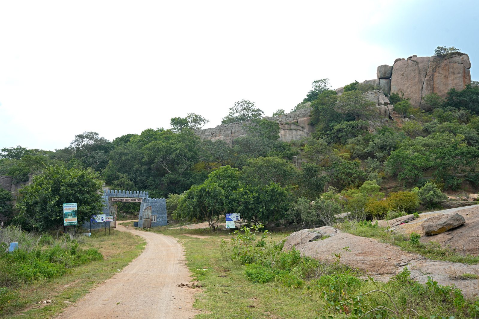
The road to Rachakonda Fort reaches the modern gate of the Rachakonda Fort Urban Park. Old stone walls and granite boulders rise on the hill above the gate.

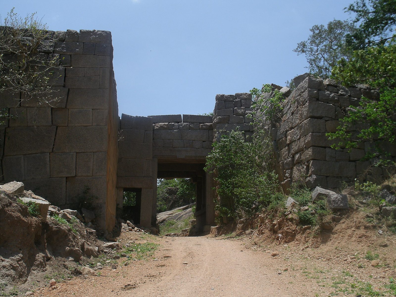
A dirt road passes through a stone gateway in the walls of Rachakonda Fort. The photographer describes this gateway as the main entrance on the south side of the fort.

Detail
- Three inscriptions of Anapota Nayaka at the fort are dated 10 August 1365.Epigraphia Telanganica 2023
- The inscription near the entrance records defence works, wells on Rajukonda and Naganayakonda, a mud fort, and the tank Anavota Samudra dug between the two hills.Epigraphia Telanganica 2023
- Sarma held that Singama Nayaka I first built a fort at Rajacala and that it became the main Recherla capital under Anapota.Somasekhara Sarma 1948
- Anapota ruled from Rachakonda while his brother Mada ruled from Devarakonda.Warangal District Gazetteer 1976Epigraphia Telanganica 2023
- Ahmad Shah Bahmani left the chief of Rachakonda in place on promise of tribute. Nizamuddin Ahmad dates this campaign to 828 AH (1424–25) and names the place Rajkonda.Epigraphia Telanganica 2023Nizam’s Archaeological Reports 1920–31Tabaqat-i-Akbari III
- Shitab Khan’s inscription of 1504 claims the conquest of Rajadri, which Hirananda Sastri reads as Rajakonda.Hirananda Sastri 1932
Also recorded as
- Rachakonda
- Rajakonda
- Rajukonda
- Rajacala
- Rajadri
- Rajagiri